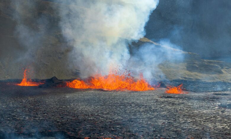
Mount Merapi, Indonesia’s most active volcano, roared back to life with a series of powerful eruptions that sent ash clouds soaring 15,000 feet into the sky and forced the evacuation of over 5,000 residents from surrounding villages. The volcanic giant, whose name translates to “Mountain of Fire,” unleashed pyroclastic flows and hot ash clouds that cascaded down its slopes, prompting authorities to raise the alert level to its second-highest status.
The eruptions began in the early hours of Tuesday morning, catching many residents asleep as seismic activity intensified dramatically. Indonesia’s Geological Agency reported that volcanic tremors had been building for several days before the explosive activity commenced, with monitoring stations detecting increased gas emissions and ground deformation around the 9,550-foot peak.
Immediate Response and Evacuation Efforts
Emergency response teams mobilized quickly as the volcano’s danger zone expanded to a radius of four miles from the crater. Local disaster management officials worked through the night to coordinate evacuations from 11 villages in the Sleman and Magelang regencies, with residents fleeing to designated emergency shelters and community centers.
“The sound was like thunder that wouldn’t stop,” said Sari Wulandari, a resident from Kinahrejo village who evacuated with her three children. “We could see the red glow from our house and knew we had to leave immediately.” The evacuation process, though challenging due to narrow mountain roads and limited transportation, proceeded without major incidents thanks to well-rehearsed emergency protocols developed after previous eruptions.
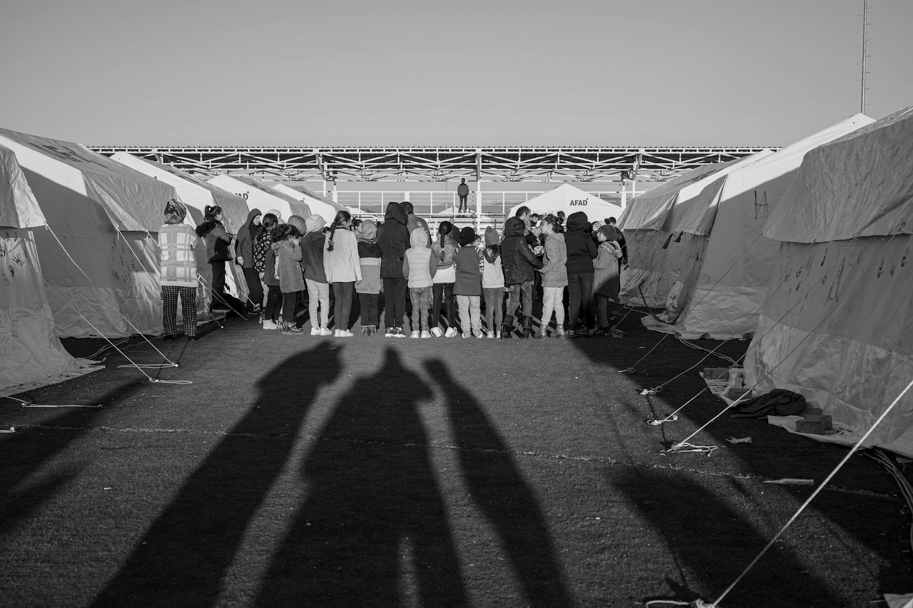
Temporary shelters have been established in local schools and government buildings, housing families who brought only essential belongings. The Indonesian Red Cross deployed emergency supplies including food, water, blankets, and medical equipment to support displaced residents. Local mosques and community centers also opened their doors to accommodate evacuees, demonstrating the strong community solidarity that often emerges during natural disasters.
Volcanic Activity and Scientific Monitoring
Mount Merapi’s latest eruption cycle began with increased seismic activity detected by the network of monitoring stations surrounding the volcano. Scientists at the Merapi Volcano Observatory recorded over 200 volcanic earthquakes in the 48 hours preceding the main eruption, indicating significant magma movement beneath the surface.
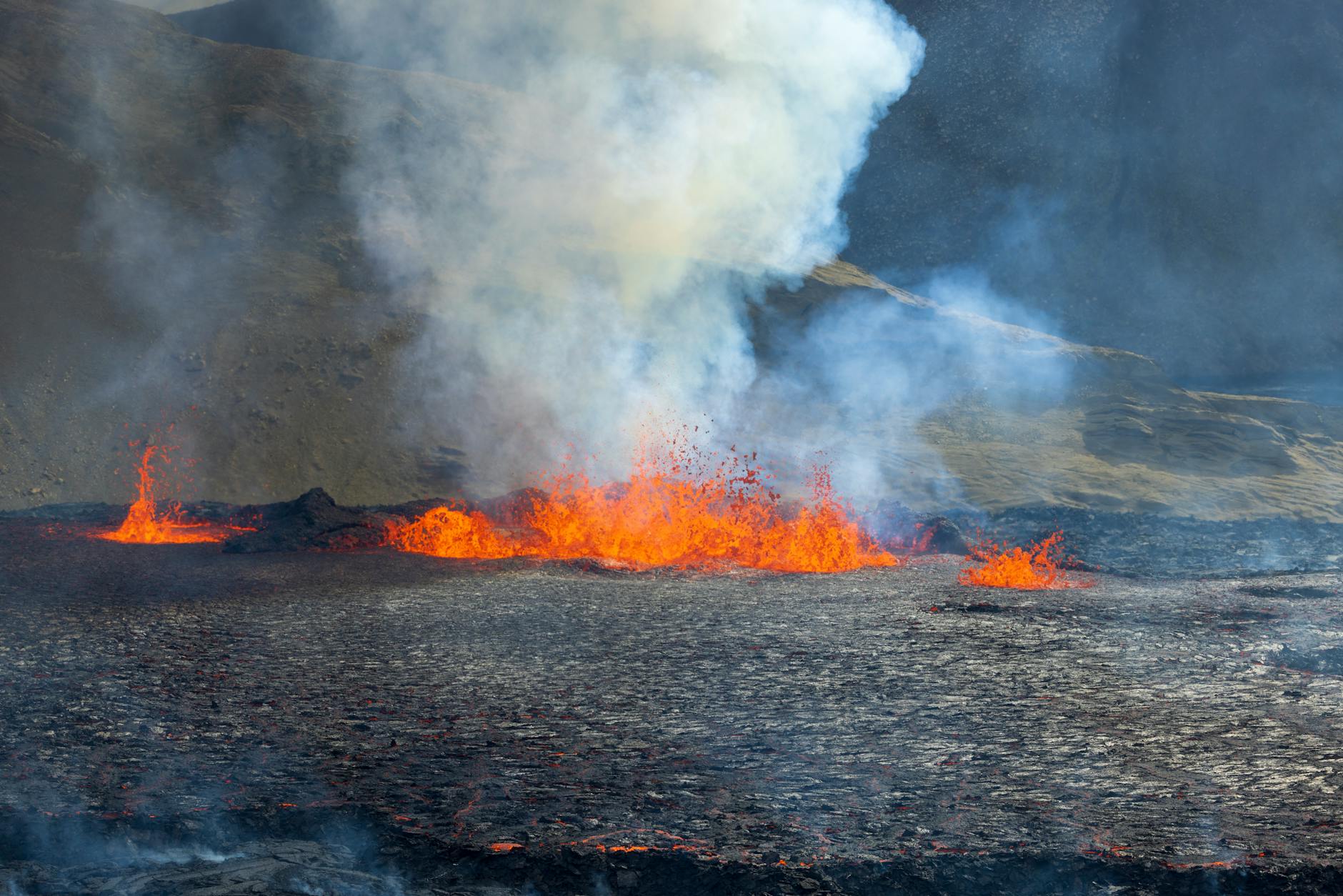
The volcano has expelled pyroclastic flows – fast-moving currents of hot gas, ash, and volcanic rock – that traveled up to three miles down the southern and southeastern slopes. These deadly flows, which can reach temperatures exceeding 1,800 degrees Fahrenheit and speeds of over 400 miles per hour, represent the primary threat to nearby communities.
Ash emissions have created columns reaching altitudes that pose risks to aviation routes. Yogyakarta’s Adisutcipto Airport temporarily suspended flights as volcanic ash drifted across flight paths, affecting both domestic and international travel. The meteorological agency issued warnings for residents to wear masks and avoid outdoor activities due to respiratory health risks from fine volcanic particles.
Real-time monitoring equipment, including thermal cameras and gas sensors, continues tracking the volcano’s behavior. Scientists note that while the current eruption appears significant, it remains within expected parameters for Merapi’s typical activity patterns. The volcano’s unpredictable nature, however, requires constant vigilance and readiness for potentially more severe explosive phases.
Historical Context and Regional Impact
Mount Merapi’s eruption adds to Indonesia’s ongoing challenges with natural disasters, as the archipelago nation sits along the volatile Pacific Ring of Fire. With over 130 active volcanoes, Indonesia experiences frequent seismic and volcanic activity that affects millions of residents across its 17,000 islands.
The current eruption recalls Merapi’s devastating 2010 activity, which claimed over 350 lives and displaced nearly 400,000 people. That eruption sequence lasted several months and caused widespread destruction across Central Java province. Lessons learned from that disaster have informed improved early warning systems and evacuation procedures now being implemented.
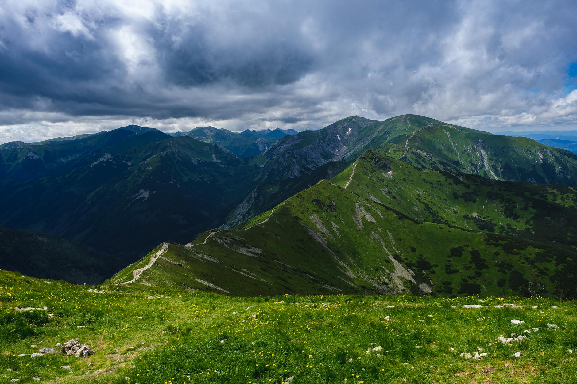
Beyond immediate safety concerns, volcanic eruptions create broader economic disruptions. The fertile slopes around Merapi support extensive agriculture, including rice paddies, vegetable farms, and traditional crafts that depend on volcanic soil nutrients. Extended evacuations and ash fallout threaten crop yields and livestock, impacting food security and local livelihoods.
Tourism, another vital economic sector, faces significant disruption as popular destinations near Yogyakarta experience cancellations and reduced visitor numbers. The region attracts millions of tourists annually to cultural sites like Borobudur Temple, located approximately 18 miles from the volcano. While international attention often focuses on defense agreements and policy changes, natural disasters like volcanic eruptions demonstrate how geological forces can instantly reshape communities and economies.
Looking Ahead: Recovery and Preparedness
As Mount Merapi continues showing signs of elevated activity, authorities maintain heightened alert status while planning for both immediate response needs and longer-term recovery efforts. Volcanologists emphasize that predicting exact eruption duration remains challenging, with activity potentially continuing for weeks or months.
Government officials have allocated emergency funds for evacuation support and infrastructure protection, while international aid organizations stand ready to provide additional assistance if conditions worsen. The Indonesian military has deployed personnel and equipment to assist with logistics and ensure security in evacuated areas.
Scientific teams will continue intensive monitoring to provide early warnings for any escalation in volcanic activity. Their data helps inform decisions about when evacuees might safely return home and what additional precautions may be necessary. The volcano’s behavior over the coming days will be crucial for determining whether this represents a relatively contained eruption cycle or the beginning of more prolonged and dangerous activity.
The resilience of communities living in Merapi’s shadow reflects centuries of adaptation to volcanic risks, but modern monitoring technology and improved emergency response systems offer better protection than ever before. As Indonesia continues managing this latest natural challenge, the focus remains on protecting lives while supporting affected communities through what may be an extended period of uncertainty and displacement.
Frequently Asked Questions
How many people were evacuated from Mount Merapi?
Over 5,000 residents were evacuated from 11 villages within a 4-mile radius of the volcano’s crater.
When did Mount Merapi last have a major eruption?
Mount Merapi’s last devastating eruption occurred in 2010, killing over 350 people and displacing nearly 400,000 residents.